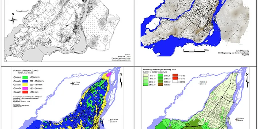
Drive from the hard caliche terraces of the Franklin Mountains foothills over to the deep alluvial fill of the Lower Valley and the ground beneath your tires tells a story most foundation plans miss entirely. On the west side, near the Rio Grande rift margin, weathered bedrock and cemented gravels can push a site into Site Class C without much effort, while east of the airport the thickness of unconsolidated basin deposits routinely drops us into Site Class D or even E. That contrast is why a single uniform-hazard spectrum for all of El Paso makes about as much sense as using the same foundation for a 2-story house and a 10-story hospital. Seismic microzonation bridges that gap by mapping how local geology—the Santa Fe Group sediments, the Hueco Bolson fill, the variable depth to the Franklin Mountain block—alters ground motion at the neighborhood scale. We combine field measurements like MASW arrays with deep borehole logs to build Vs30 maps and site response models tied directly to ASCE 7 Chapter 20. For sites on the basin edge where impedance contrasts are sharp, we often pair microzonation with a targeted MASW survey to refine the shear-wave velocity profile before running 1D equivalent-linear site response in DEEPSOIL or Strata.
A single design spectrum for all of El Paso ignores the 3,000-foot sediment column under the valley—seismic microzonation puts that variability on the map.
Methodology and scope
Local considerations
The Hueco Bolson under El Paso holds saturated silty sands and clay layers that sit within one of the most seismically active rift zones in the continental interior. The East Franklin Mountains fault and the Amargosa fault are classified as Quaternary-active, and the basin’s geometry—a half-graben with sediment thickness exceeding 3,000 feet in spots—amplifies long-period energy in a way that standard code spectra from ASCE 7 do not fully capture out of the box. When microzonation is skipped, we see two common failures: hospitals and emergency-response facilities designed with motions that underestimate spectral acceleration at 1.0-second period, and mid-rise structures on the basin edge that experience differential amplification because one corner sits on rock while the rest settles into deep alluvium. A proper microzonation study identifies these transition zones explicitly and provides site coefficients Fa and Fv on a block-by-block basis, so the structural design reflects the actual dynamic response rather than a regional average.
Applicable standards
ASCE 7-22 Chapter 20: Site Classification Procedure for Seismic Design, ASTM D4428/D4428M-14: Standard Test Methods for Crosshole Seismic Testing, IBC 2024 Section 1613: Earthquake Loads – Site-Specific Ground Motion Analysis, NEHRP Recommended Seismic Provisions (FEMA P-1050): Site Response Analysis Guidelines, USGS National Seismic Hazard Model: Input ground motions for El Paso region
Associated technical services
Vs30 Mapping with MASW Arrays
Active and passive surface-wave surveys across the project footprint to measure shear-wave velocity in the upper 30 meters, calibrated with borehole data. Outputs include a contoured Vs30 map and ASCE 7 site class boundaries.
1D Site Response Analysis
Equivalent-linear modeling in DEEPSOIL or Strata using input rock motions from the USGS hazard model, local Vs profiles, and modulus reduction curves for basin sediments to generate surface response spectra.
Basin Effect and 2D Modeling
For large structures crossing the mountain front or the river valley edge, we run 2D finite-element models that capture lateral wave propagation and basin-edge amplification that 1D analysis misses.
Liquefaction Potential Zonation
Overlay mapping of liquefaction susceptibility based on SPT blow counts and groundwater depth, correlated to seismic hazard levels, so planners can flag areas requiring ground improvement before development.
Typical parameters
Frequently asked questions
How much does a seismic microzonation study cost for a municipal project in El Paso?
For a neighborhood-scale or small municipal microzonation in El Paso, the cost typically runs between US$4,560 and US$15,000 depending on the area covered, the number of MASW lines and calibration boreholes required, and whether 2D basin modeling is needed. A simple Vs30 mapping study with four to six surface-wave lines and one calibration boring sits at the lower end, while a full microzonation with site response spectra at multiple locations, liquefaction overlay maps, and a planning-level report falls at the higher end.
What makes El Paso's basin geology different for seismic microzonation compared to other Texas cities?
El Paso sits inside the Rio Grande rift, an active extensional tectonic province, with basin fill that can be thousands of feet thick in the Hueco Bolson. This produces a strong impedance contrast between rigid Franklin Mountain bedrock and soft basin sediments, which amplifies long-period ground motion. Most other Texas cities sit on stable cratonic crust without that rift-related basin architecture, so the site amplification patterns here are much more pronounced and spatially variable.
Do I need a microzonation study if my building already meets IBC Site Class D assumptions?
Not always, but 'Site Class D by default' is a conservative shortcut that can overestimate short-period spectral acceleration and underestimate long-period motion in deep basin settings. If your structure is tall, risk-critical, or located near the mountain front where site class changes over a few hundred feet, a microzonation gives you site-specific spectra that often reduce design forces in some period ranges while correctly amplifying others, leading to a more efficient structural design.