IBC Chapter 18 and ASCE 7-22 require a site-specific slope stability evaluation when grading exceeds 15 feet or when structures sit near natural arroyos. In El Paso, the Franklin Mountains and dissected alluvial fans create steep, marginally stable colluvium that reacts fast to monsoon rainfall. We run limit-equilibrium models using Spencer and Morgenstern-Price methods, fed by shear-strength data from our acredited lab. Before modeling, we often verify stratigraphy with test pits to catch buried paleo-channels that standard borings miss. The City of El Paso Development Services Department reviews these submittals under the 2018 International Building Code with local amendments, so the report must include seismic coefficient maps from USGS Unified Hazard Tool and a clear FS justification.
Shallow failure in partially saturated colluvium is the most underrated geohazard in El Paso—matrix suction vanishes before you see a crack.
Methodology and scope
Local considerations
El Paso sits at roughly 3,740 feet elevation, with the Franklin Mountains dropping over 2,000 feet into the urban corridor. That relief drives debris-flow susceptibility mapped by the Texas Bureau of Economic Geology. The 2006 monsoon event triggered more than 40 slope failures in a single weekend across the Transmountain area. For a geotechnical engineer, the numbers are direct: a 10-foot vertical cut in saturated Qal can fail at FS 0.9 if residual strength governs. We model the residual case every time because slickensides are common in the clay-rich layers. The IBC design acceptance is clear—anything below FS 1.5 static requires a stabilization design, which we coordinate with the retaining-wall or soil-nail team without delay.
Applicable standards
IBC 2021 (Chapter 18 — Soils and Foundations), ASCE 7-22 (Section 11.8 — Slope Stability), ASTM D4767 — Consolidated-Undrained Triaxial Compression Test, FHWA-NHI-05-123 — Soil Slope and Embankment Design, City of El Paso — Grading Permit Requirements (Ord. 017492)
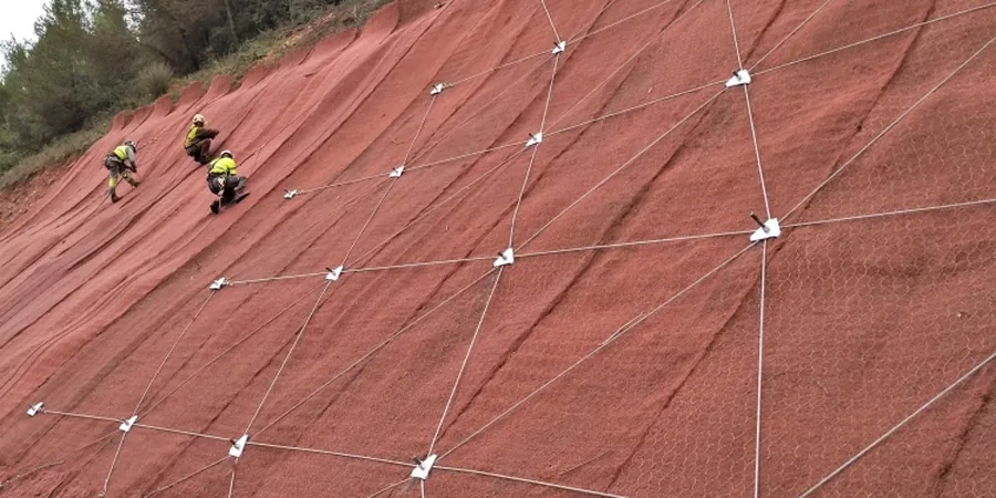
Associated technical services
Limit-Equilibrium Stability Modeling
Full cross-section models using Slide2 or Slope/W with Spencer and Morgenstern-Price methods. We input site-specific shear strength from CIU triaxial and model the bedrock contact as a potential failure plane.
Monsoon-Driven Transient Seepage Analysis
We couple SEEP/W with the stability model to simulate the wetting front after a 100-year 24-hour storm. This catches the FS drop before the phreatic surface rises, which static water tables miss.
Stabilization Recommendation Package
If FS falls below code minimums, we provide geometry adjustments (flatter benches, terrace drains) or structural options (soil nails, soldier piles) with preliminary sizing. Formatted for peer review by the City.
Typical parameters
Frequently asked questions
Does the City of El Paso require a slope stability report for a single-family lot in the foothills?
Yes, if the graded slope exceeds 15 feet in height or if the structure is within 50 feet of the top or toe of a slope steeper than 3H:1V. The Development Services Department enforces this under IBC 2018 Section 1808. A sealed report with FS calculations is required before the grading permit is issued.
What is the typical cost range for a slope stability analysis on a residential cut?
For a typical single-lot analysis involving two cross-sections, lab triaxial testing, and a sealed report, the range runs US$1.180 to US$3.840 depending on drilling depth and the number of groundwater scenarios required. We provide a fixed-price scope after reviewing the grading plan.
How long does the analysis take from field work to the final report?
Field sampling and lab testing require about 12 to 14 business days. Modeling and report preparation add another 5 to 7 business days. We can compress the schedule if the contractor arranges the drilling rig and we run priority triaxial cells, but the consolidation phase cannot be shortened without compromising effective-stress data.